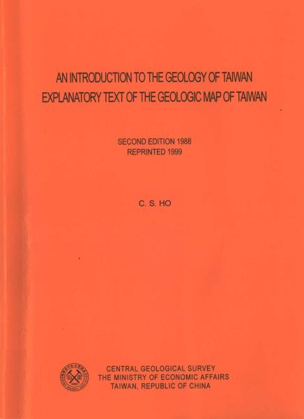
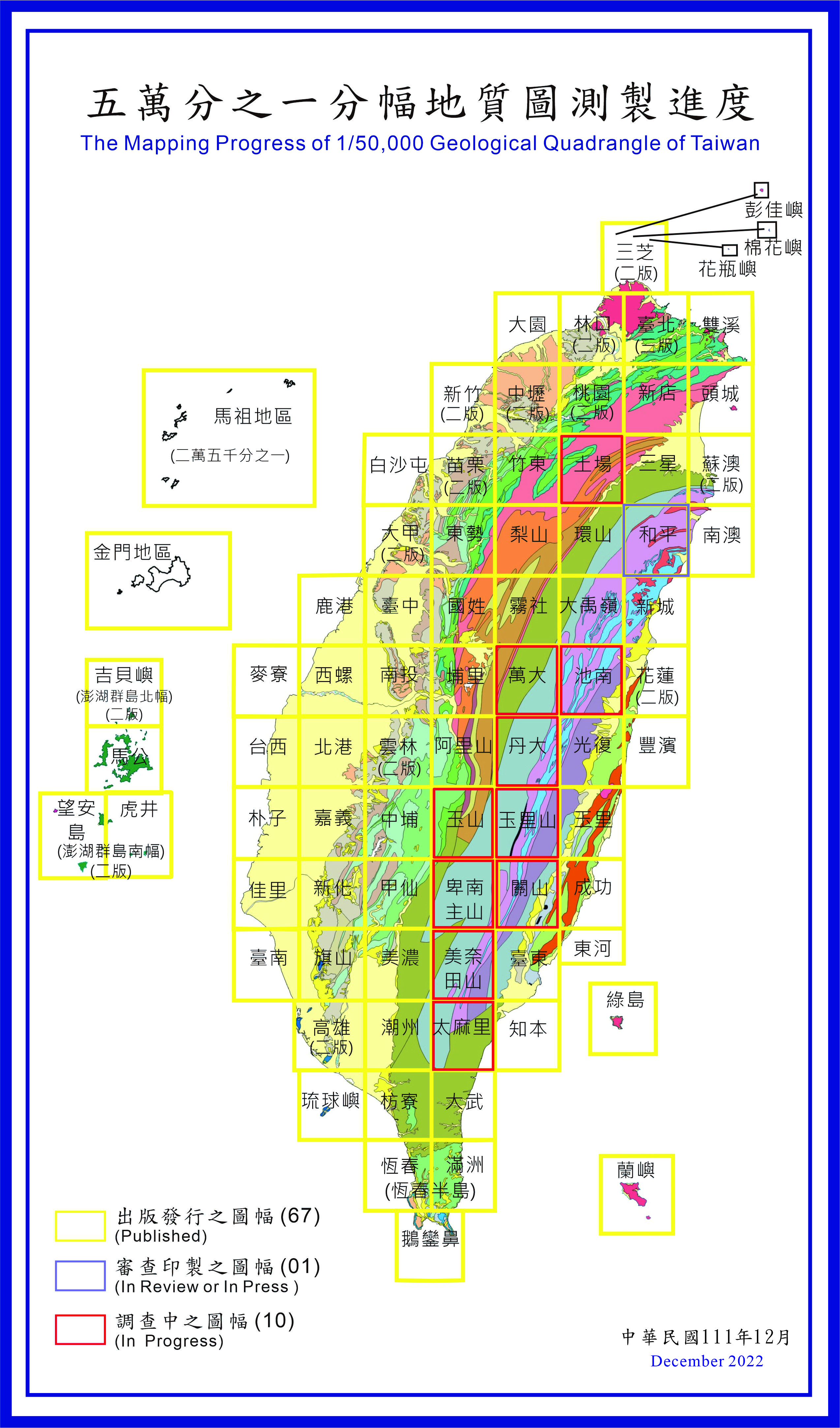
臺灣地質圖〔全島〕
推到:
點閱數:
10284
我要購買

|
|
內容簡介
本輯地質圖可提供許多有關的新資料讓建設工作的策劃人及執行人參考。不僅如此,由於臺灣在中國大陸與太平洋間佔據了一個在大地構造上顯然重要的位置,這一幅地質圖同時也提示了對在臺灣以外的地質學者或屬生疏的新論據,可供他們在討論造山運動時為新理論作證。
電子檔案 為何看不到全文? 下載Adobe Reader
- 封面
- 書名頁、本文前未列頁次者
- 序、前言
- 目錄、目次
- Introduction
- Earlier Geologic maps of Taiwan
- Geographic setting
- General geology and geologic provinces of Taiwan
- Explanation of legend and representation of geologic data
- Eastern Central Range (pre-Tertiary metamorphic complex)
- Western Central Range and Backbone Ridges (Tertiary submetamorphic terrain)
- Western foothills (Neogene sedimentary basin)
- Eastern Coastal Range(Neogene magmatic arc)
- Geology of the Hengchun Peninsula
- Major geologic features of Taiwan
- Plate tectonic setting
- 參考文獻
- 附圖
- 本文後未列頁次者、封底


